
Search Suffolk Streets by Address
Suffolk is an independent city, not a county, so the first address record is usually held by a city office. Start by putting the street into the USPS ZIP Code Lookup. It accepts a street address with an optional apartment or suite and returns a postal format. USPS warns that this result does not confirm a person or organization at the address. Treat it as a spelling and delivery check before comparing city records.
Next, keep an address trail with its source and date. The assessor and GIS can link a mapped location to a parcel account or tax map. A deed can then connect the parcel to a recorded transaction. A voter status tool and broader voter-file process have separate statutory limits, while historical directories are dated publications. The route is useful for property history, family research, estate questions, and a careful check of a seller or address, not for building a household list.
- Normalize the street, city, state, and ZIP with USPS, and save the returned format.
- Find the mapped parcel in Suffolk Spatialest or the city GIS, then note the situs address, account number, and tax map.
- Compare the exact street components and geographic context in the parcel layer, including borough or precinct when shown.
- For title history, use the Suffolk Circuit Court Clerk or the registered Virginia SRA land-record route to follow recorded instruments.
- For an older address, ask the library about a dated reverse or criss-cross directory, then corroborate the printed entry with maps, newspapers, or deeds.
Note: A parcel owner, tax mailing contact, historical directory entry, and current occupant are different record descriptions and should never be merged without dated evidence.
Suffolk Street Directory Parcel Fields
The public property route begins with the City Real Estate Assessor and Spatialest. The documented parcel-owner layer is more specific than a simple address list. It can expose a parcel or condo indicator, tax map number, account number, situs address, street direction, street name, street type, suffix, zoning, subdivision, borough, owner, mailing-address lines, property class, building use, and neighborhood. Those labels make it possible to distinguish two similarly named roads or to compare a historic spelling with a modern address.
| Parcel search field | Record use | Interpret carefully |
|---|---|---|
| Tax map number or account number | Stable reference for linking map, assessor, and deed work | Record it exactly, including any displayed punctuation. |
| Situs address and street parts | City-mapped property location and normalized street comparison | Direction, type, and suffix can resolve a street-name variant. |
| Owner and mailing fields | Assessment owner-of-record and tax correspondence contact | Mailing location may differ from the property and is not occupancy proof. |
| Borough, zoning, subdivision, neighborhood | Geographic and land-use context for the same parcel | These describe a place, not a person’s affiliation. |
The proposed assessment property record card is restricted to the owner of record. That boundary matters when an online parcel display seems to offer an easy answer. Use the public map result as an assessment record, label the date checked, and verify a current value or ownership question through the responsible office.
The official Suffolk ArcGIS map gallery is pictured below. Its parcel-viewer entry point is useful after an address is normalized, because the map can supply the geographic reference that a plain street search lacks.
Use the displayed parcel reference to return to the assessor or clerk record, rather than treating a map label as final proof of identity.
Suffolk Street Directory GIS Layers
The City of Suffolk GIS program supplies the map context that separates an address point from a road line or parcel boundary. Its mapping resources connect streets, addresses, parcels, boroughs, precincts, schools, public-safety areas, historic areas, flood information, land use, and transportation. GIS maps are informational and are not a legal survey. A narrow question about a street may need a city map or data request when the viewer does not provide the needed layer.
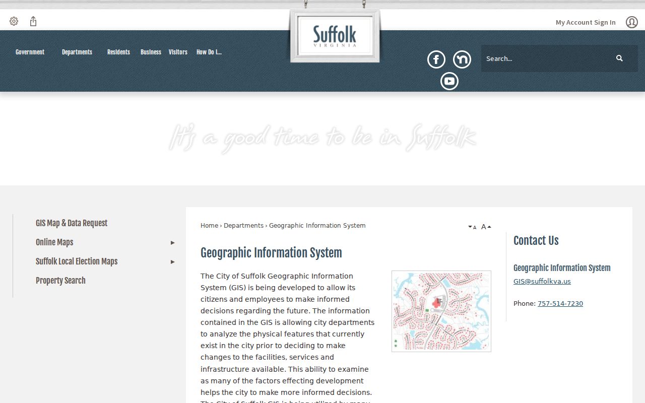
That program page is a practical contact route for city map services and explains why a street-level result should be checked against its source layer.
The Suffolk all-layers REST directory documents identify, query, and export operations. Address points, adopted streets, driveways, sidewalks, bridges, railroads, parcels, and road centerlines are distinct features. Querying a layer can also reveal a street’s borough, precinct, historic, flood, or land-use setting. Export capability does not make the result a statewide list of people or an official survey.
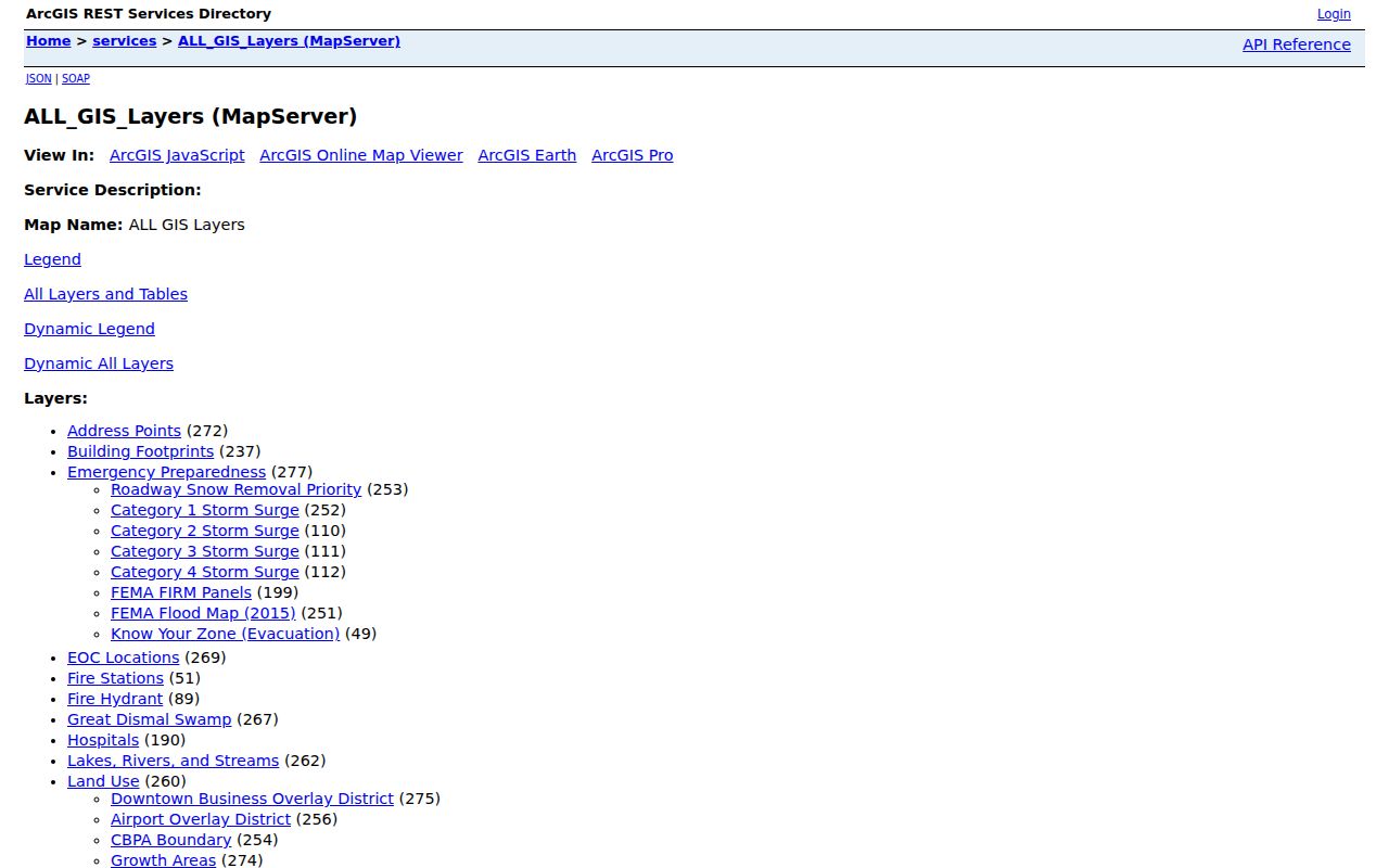
The layer directory gives a reproducible way to identify which map feature supplied a fact and whether a layer’s date needs confirmation.
Suffolk Street Addresses and Activation
An address that does not match an older source may be newly assigned, corrected, or tied to a proposed site plan. The GIS Address Request form asks for an applicant name, telephone number, email, parcel account, tax-map ID, current street or address, reason, signature, and date. New construction, corner lots, and commercial suites may need an approved lot-layout survey or building plan. A vacant or unaddressed parcel generally needs intent to build and a building permit.
The city estimates about two weeks for address assignment and notices to utilities and USPS, followed by assessor processing. A request is not a resident directory, but it is a useful address-activation record because it joins a future street number to the parcel identifiers used in GIS.
The Suffolk public applications page routes visitors to the city’s online access portal and public permit categories.

That access point helps separate a permit or addressing task from an assessor record, even when both refer to the same parcel.
The public inspection-results map is another address-keyed city route. Its live fields were not captured in the research, so it supports a check for public inspection history without promising a particular result screen or historical cutoff.
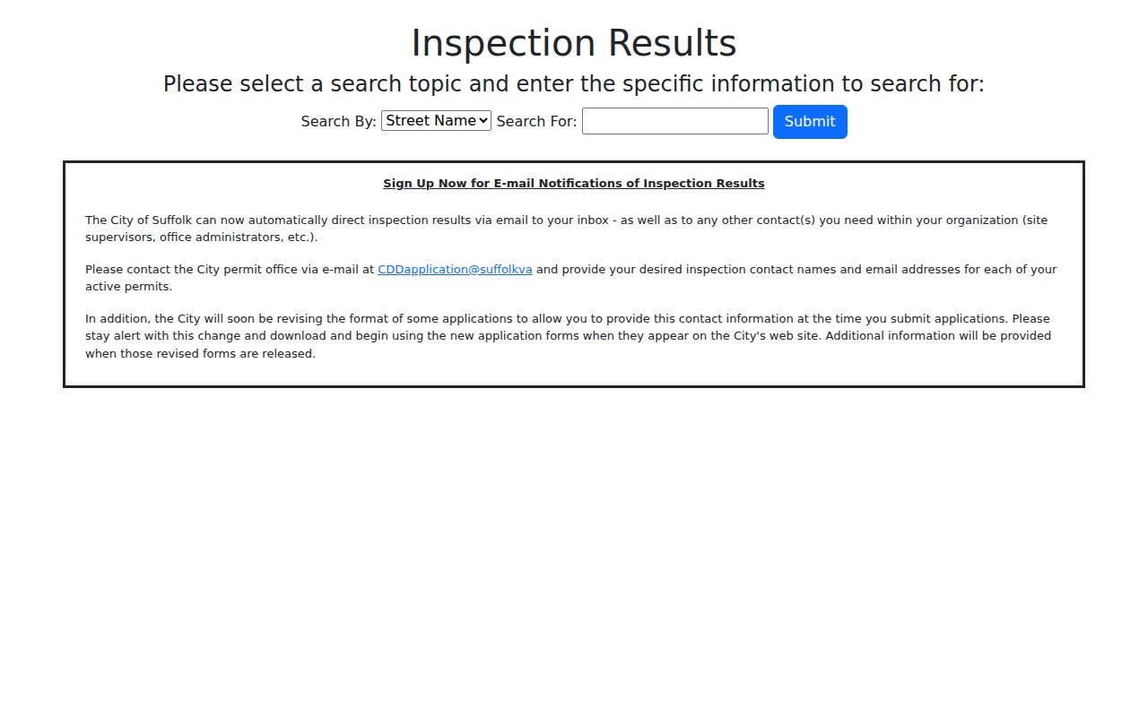
Use any displayed result as a property-history lead and keep the portal date alongside the address searched.
Suffolk Streets With Earlier Names
Suffolk street work needs a historical geography check. The original town grid put Main and Back Streets parallel to the river, with North and South Cross Streets meeting them at right angles. Growth later moved inland along Main. The Great Fire of 1837 destroyed the courthouse, clerk offices, jail, and more than 130 buildings; major fires also struck the business district in 1885 and 1888. A missing early record can therefore reflect preservation loss, while an old block description may not fit a modern number.
Search historical records under Suffolk, Nansemond County, City of Nansemond, Holland, and Whaleyville as appropriate. The 1974 consolidation joined Suffolk, Nansemond County, Holland, and Whaleyville, so the jurisdiction printed in a deed, directory, map, or newspaper may not match a current parcel screen. Sanborn sheets and the Historic District nomination can place earlier buildings in the old grid, Pinner’s New Town, or later Clay, Saratoga, and Pine development areas.
Suffolk Mapping Resources provides the city’s official guidance to map tools and property-map resources.
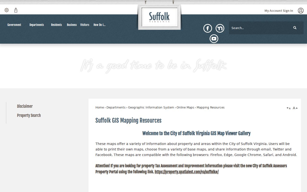
Use a modern map as a locator, then preserve the historical spelling, source year, and former jurisdiction in the research notes.
Suffolk Street Directory Record Routes
No one office maintains a complete street-by-street roster. Address-keyed records answer different questions, and Suffolk’s independent-city structure makes their separate custodians important. The comparison below keeps the record type, source, and access channel visible. When an online tool does not answer the question, use the city office, clerk counter, written copy request, library, archive, or a narrowly described Virginia Freedom of Information Act request for an existing municipal record.
| Address record | Custodian | Street-level value | Access channel |
|---|---|---|---|
| Assessment parcel | Real Estate Assessor / Spatialest | Owner of record, situs or mailing address, account and tax map | Public portal; proposed card restricted to owner of record |
| GIS parcel and address layers | City GIS | Geometry, address point, adjacent parcels, borough, precinct, and context layers | Public viewer or REST query; map is informational |
| Deed, plat, or land index | Suffolk Circuit Court Clerk / SRA | Grantor, grantee, instrument, book or page, legal description | Registered SRA, clerk counter, or copy request |
| Permit and inspection record | City SOAP / inspection-results portal | Publicly available work or inspection history tied to property | Dynamic public portal; city contact if needed |
| Historical directory or map | Suffolk Public Library, LVA, archives | Dated address, street context, business, or printed household notation | Library, archive, or digitized collection; coverage varies |
Note: Virginia FOIA requires a reasonably specific request for an existing city record and may involve actual search, redaction, duplication, or database-format costs.
Suffolk Street Directory Deed Trail
Once the parcel account and tax map are known, the deed trail can explain a property’s recorded transfers. The Suffolk Circuit Court Clerk is the custodian for deeds and plats. The Virginia Secure Remote Access system is restricted public use and requires registration with the local clerk. It is not a promise of a statewide circuit search, and the research did not locate an official online cutoff year for the Suffolk land index.
For older work, the Library of Virginia Nansemond microfilm guide identifies general deed indexes from 1866 to 1904 and selected deed-book material from 1899 to 1913. Search a seller as a prior grantee, preserve the legal description and book or page reference, and test Nansemond aliases when a modern street number fails. A missing pre-1866 item is not proof that no transfer occurred, because local fires caused real preservation gaps.
For dated street occupants rather than modern parcel work, the Suffolk directory collections provide the historical shelf and the limits of reverse-directory coverage.
Suffolk Street Directory Voter Boundaries
Virginia’s current Citizen Portal supports registration status, polling-place, and absentee actions. It is not a street-wide export tool. Under Title 24.2, public voter-list fields are constrained: the statutory list can include name, residence address, year of birth, gender, and election-district information, while Social Security numbers, full birth dates, agency identity, and protected information are excluded. A protected voter or Address Confidentiality Program participant must not be exposed through an address workflow.
A broader voter-file request has its own form, eligible client type, confirmed organizational email, filters, and product choice. Historical Suffolk or Nansemond poll books and registration registers were not located as a current public online index. Ask the Suffolk Registrar, Library of Virginia, or library about microfilm coverage rather than promising a street result that the portal does not provide.
Suffolk Street Directory Terms
Street records use short labels that can blur different kinds of evidence. Keep the label with the source record and date, especially where an old directory and a current parcel display use the same number differently.
- Parcel
- A mapped unit of real property, commonly connected to a tax map or account number.
- Situs address
- The property’s location address in an assessment or GIS record. It can differ from a tax mailing address.
- Plat
- A recorded map or plan that can describe lots, boundaries, streets, or subdivisions.
- Criss-cross directory
- A historical directory arranged by address rather than by name. Suffolk shelf years were not verified online and need confirmation from library staff.
Suffolk Street Directory Privacy Limits
A street directory can document public property, map, title, permit, or dated historical records. It cannot establish a complete current household, a utility customer, a protected address, or the relationship between people near the same parcel. An owner field and a mailing field have separate meanings. Postal results and ZIP codes also do not establish identity. Where a source is historical, record the volume year and page before drawing even a limited conclusion.
Lawful use. Suffolk address records support personal, lawful research and civic or historical questions. Do not use them to stalk, harass, intimidate, or harm anyone.
Use the responsible custodian to correct a record or request a specific municipal document. An unresolved street variant should be reported with the postal format, parcel account or tax-map ID, mapped address point, source date, and the historical spelling or locality name that caused the conflict.
Note: The Virginia Address Confidentiality Program provides a substitute mailing address for eligible survivors, and protected locations must stay outside ordinary address research.