
Suffolk Neighbors Block Sources
Suffolk neighbors can be researched through records that answer separate block questions. The parcel layer identifies mapped lots and assessment fields. The voter route is limited to an individual registration-status check or a statutory list process, not an invitation to build a street roster. Civic material identifies organization contacts where those groups publish them. Historical directories and maps can describe an earlier block, but are dated evidence. Treat each result as the type of record it is.
| Block source | What it can show around a Suffolk address | Access boundary |
|---|---|---|
| GIS parcel and address layer | Adjacent geometry, address points, tax map/account, borough, zoning and neighborhood fields | Public viewer or REST layer; informational map disclaimer |
| Spatialest assessment search | Selected owner-of-record plus situs and mailing fields | Public assessment route; proposed record card restricted to owner of record |
| Virginia voter route | Individual status and polling-place context, subject to law | Person/status lookup; no street-wide export promise |
| Permit and inspection route | Public application or inspection history tied to a property | Dynamic city portal and inspection map |
| Civic League registration | Organization name and submitted leadership/contact fields | Organizational contact route, not a member roster |
| Directories and maps | Dated names, addresses, businesses and building context | Library, archive, and map collections; varying coverage |
Owner-of-record and current occupant are not interchangeable terms. The same caution applies to a parcel mailing address, a directory entry, a civic contact, or a voter-related record. Keep the Suffolk source date beside the result before comparing one property to another.
Suffolk Neighbors Parcel Context
The City GIS layers make a block easier to describe without turning it into a household list. Their documented scope includes address points, parcels, streets, boroughs, precincts, voting districts, schools and attendance zones, parks, public-safety layers, historic areas, flood information, land use, and transportation. These overlays are context. A school, flood, historic, or precinct layer does not establish that a person belongs to a group or lives at a selected parcel.
The Suffolk GIS all-layers directory documents the available service layers and supports identify, query, and export operations.
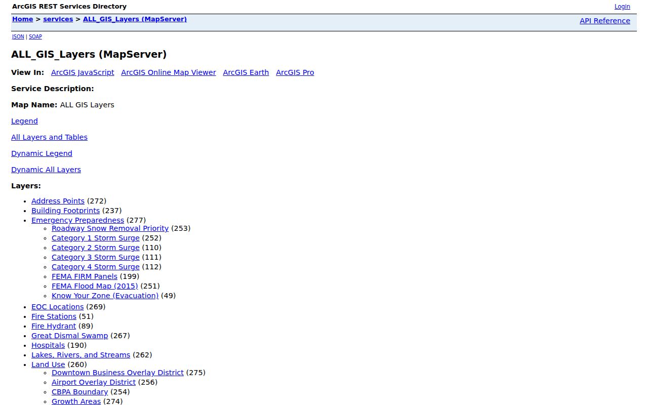
Record the agency and layer date when available, because map updates and record dates can differ across a Suffolk block.
Suffolk Neighbors Parcel Flow
The official block method begins with one mapped address and expands only to nearby parcel geometry. The City’s parcel service supports identified geometry plus queries using distance or map extent. The live viewer controls were not verified in the research pass, so use the documented service capability without promising a particular button, buffer label, or selection tool. Physical adjacency is a geographic relationship only. It is not proof of a social connection, current residence, or a relationship among the people named in separate records.
- Locate the subject address in the official Suffolk ArcGIS map gallery and parcel-viewer route, then confirm the mapped address against the parcel record.
- Save the subject parcel’s tax map or account number, situs address, borough, zoning, owner field, mailing field, and the record or access date.
- Identify touching or nearby parcel polygons and save the same fields separately for each comparison parcel.
- Use the documented distance query or map extent only to repeat a bounded geographic comparison. Do not infer a household from the resulting geometry.
- For a question spanning a whole named street, use the fuller address sequence in the Suffolk Street Directory rather than extending a block result indefinitely.
The official map-gallery entry point is a useful first check for a mapped Suffolk address.
The page provides the city’s mapping route, while the parcel result itself supplies the record-specific fields that need to be saved.
The Suffolk parcel-owner layer is the documented service route for comparing adjacent parcels.
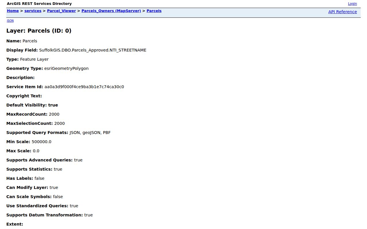
Use an adjacent-parcel result to document mapped proximity, then label owner and mailing fields as assessment information rather than an occupant claim.
Suffolk Neighbors Parcel Fields
The parcel-owner schema offers a consistent note set for Suffolk neighbors research: parcel or condo indicator, tax-map number, account number, address components, zoning, subdivision, borough, owner, mailing address, assessor area, property class, building use, neighborhood, service flags, and geometry. The situs is the mapped property address. A mailing address is the tax-correspondence destination. Both are different from a verified current-residence finding.
Use the Suffolk Spatialest property search or the GIS layer to compare selected parcels. The proposed assessment property record card is restricted to the owner of record. If a field needs confirmation, use the City Assessor route instead of inventing a value from map appearance.
- Tax map and account
- Parcel identifiers that make a comparison repeatable when nearby lots have similar street addresses.
- Situs address
- The mapped location of the property, not a statement about who receives mail there or lives there.
- Mailing address
- The assessment correspondence field. It can differ from the situs address for many ordinary reasons.
- Borough and zoning
- Geographic and land-use context fields that do not identify a household or social affiliation.
Suffolk Neighbors Civic Contacts
Community organizations are a different layer from parcels. Suffolk’s Civic League Online Registration or Update form asks for an association name, president first and last name, organization mailing address, city, state, ZIP, phone, email, optional website, and email-copy option. The city says compiled information is used to contact civic groups and neighborhood associations and may be shared with outside agencies or groups requesting a copy. That is an organizational contact policy, not a public directory of residents.
Civic League registration
City intake for association leadership and contact fields. It does not supply a complete public master association directory or a household roster.
Kempton Park HOA
First-party site describes a 286-home organization in Sleepy Hole. Use its public contact route for association matters, not member identity.
Riverwood Owners Association
First-party site describes a 140-home community with board, rules, forms, and reservations. No public member roster was located.
The Suffolk Civic League registration form shows the city’s organization-level fields.
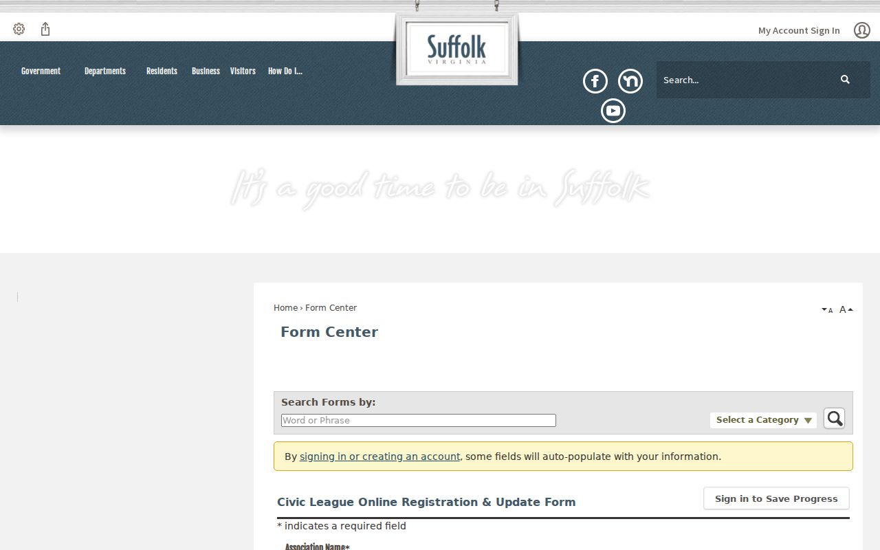
Use this route to find a published association contact or policy, never to infer the members of a Suffolk block.
The Kempton Park HOA public site is a first-party source for its organizational description and contact route.
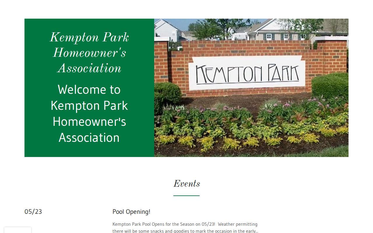
The 286-home Sleepy Hole description is an association fact, not a list of people who live in or belong to the community.
The Riverwood Owners Association public site is another first-party organizational source.
Its 140-home description and public board, forms, and reservation information do not create a public member roster.
Suffolk Neighbors Borough Layers
Suffolk’s seven boroughs add useful place context to a parcel comparison: Chuckatuck, Cypress, Holy Neck, Nansemond, Sleepy Hole, Suffolk, and Whaleyville. The map also carries precinct and neighborhood labels. Keep the layers distinct. A borough is a geographic label; a precinct is election geography; a neighborhood is a mapped or locally used place name. None confirms a person’s affiliation with a group or their presence at a property.
For a source note, pair the borough or precinct label with the parcel tax map, map layer, source agency, record date, and access date. That preserves the geographic finding without overreading the map. It also helps with historical Suffolk/Nansemond locality changes when a block appears under a different older name.
Suffolk Neighbors Voter Boundaries
The Virginia Citizen Portal is a current person and status route, with actions for registration status, polling place, and absentee workflow. It does not promise a public street-wide export for Suffolk neighbors. Public voter-list rules under Title 24.2 protect or exclude sensitive fields, including Social Security numbers, full birth dates, agency identity, and protected details. Never try to rebuild a household roster from a map and a person-status result.
A broader voter file has a different process. The state request form requires a qualified client type, an active confirmed organizational email, requester and organization details, geography and election filters, and a selected product. That qualified form is the stated route for a broader list, not the individual lookup. Protected voters and Address Confidentiality Program participants require extra care.
Virginia’s Address Confidentiality Program supplies a substitute mailing address and mail forwarding for eligible survivors. It is not a mechanism for discovering a protected location.
Suffolk Neighbors Record Comparison
An official source and a commercial neighbor-lookup category serve different purposes. The first can identify the agency, record class, field meaning, and access boundary. The second may combine public and purchased address data behind changing methods. Neither turns a parcel boundary into proof of a household, and the commercial category should not be used to infer renters, deliveries, utility customers, or protected people.
| Question | Official parcel or civic record | Commercial lookup category |
|---|---|---|
| Source trail | Agency and record type can be identified | Underlying sources and update path may be unclear |
| Meaning of a name | Owner, mailing contact, organization role, or dated entry can be labeled | Name association can be stale or misattributed |
| Block conclusion | Shows a bounded record fact or adjacent geometry | Does not verify occupancy or a social connection |
Suffolk Neighbors Privacy Limits
Privacy limits are part of a sound Suffolk neighbor lookup. Renters, household members, utility data, delivery records, protected addresses, full birth dates, and confidential voter details are not something a parcel comparison should reconstruct. Assessment owner fields, tax mail, historical directories, and civic contacts each describe a narrower fact. If an existing city record is unavailable in a public route, a precisely described Virginia FOIA request may be appropriate, but FOIA does not require the city to create a new block analysis.
Lawful local use. Use Suffolk neighbor records for civic context, reconnecting, property curiosity, and personal safety awareness. Do not watch, contact, intimidate, or harass people because a map or record placed them near an address.