
Suffolk ZIP Code Delivery Areas
Suffolk's standard city delivery set is 23432 through 23438. ZIP 23439 is used for Suffolk PO Boxes. The local examples below are practical crosswalks from precinct material, not full boundary definitions or delivery guarantees. USPS assigns delivery geography by the exact address, so a street result should always take priority over a borough or neighborhood shortcut.
| ZIP | Local coverage example | Post Office or delivery status | Research note |
|---|---|---|---|
| 23432 | Chuckatuck precinct examples | Standard delivery ZIP | Exact street controls. |
| 23433 | Chuckatuck precinct examples | Standard delivery ZIP | Use USPS for the address. |
| 23434 | Many central Suffolk locations and several borough examples | Standard delivery ZIP | Not every central address shares one delivery area. |
| 23435 | North Suffolk and Sleepy Hole examples | Standard delivery ZIP | Verify the street rather than the area name. |
| 23436 | Serves part of the standard city set | Standard delivery ZIP | Specific local crosswalk was not located. |
| 23437 | Holland example | Standard delivery ZIP | Commonly associated with Holland. |
| 23438 | Whaleyville example | Standard delivery ZIP | Commonly associated with Whaleyville. |
| 23439 | Suffolk PO Boxes | PO Box ZIP | Not a street-delivery neighborhood. |
A ZIP coverage table describes a delivery pattern, not a roster. It can help organize research about city geography, but a postal label alone does not prove that a person or organization is at an address.
Suffolk ZIP Code Directory Basics
USPS is the authoritative source for formatting an address and determining its ZIP. Its tool offers three distinct routes: By Address, By City and State, and Cities by ZIP. Those modes answer different questions. An address search normalizes one delivery point, a city-and-state search returns ZIP possibilities for a locality, and a ZIP search returns associated city names. None of them confirms a person or business at a location.
Use the standard Suffolk delivery set for an initial geographic frame, then resolve an actual street. A PO Box result should remain labeled as a box address. Do not convert it into a street location or use it to fill a missing residential field.
By City and State can return more than one postal possibility for Suffolk. It is a starting list, not a promise that every street within the city shares each result. Cities by ZIP can also show a city association without drawing the delivery boundary. Keep those broad results separate from the By Address response, which is the appropriate check for one known street. This distinction is especially important when a mailbox, a newly activated address, or a border area is involved.
Note: Postal delivery boundaries can change independently from Suffolk neighborhood, borough, school, or election boundaries.
Suffolk ZIP Address Checks
The USPS By Address form uses a required street address, an optional apartment or suite, city, state, and an optional ZIP. Enter the address as known, then try a reasonable street-format variation if the first result does not resolve. A returned ZIP supports postal formatting only. It should not be used as personal confirmation.
| USPS input | Required? | How it is used |
|---|---|---|
| Street address | Yes | The delivery address being checked. |
| Apartment or suite | No | Add only when it is part of the known address. |
| City | Yes | Use the locality supplied for the address check. |
| State | Yes | Select Virginia for a Suffolk address. |
| ZIP | No | Use when available to refine an address check. |
USPS delivery lookup displays its address, city-and-state, and ZIP-to-cities modes.
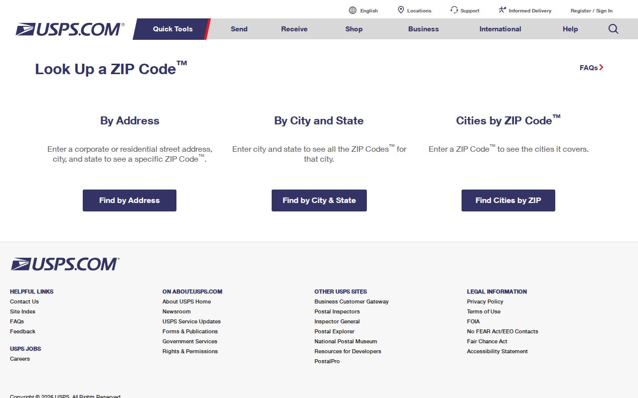
Keep the returned postal form beside the source date. It can be compared with a map point or parcel address, while preserving the important fact that USPS delivery data is not a person match.
Suffolk ZIP Records by Area
Within one ZIP, first establish the delivery geography, then move to a record keyed to the actual property or place. The public assessment search and GIS layers support address, parcel, and map research, but the reviewed material did not establish a fixed live ZIP-filter label for every portal. Avoid assuming that a field exists simply because a ZIP appears in a record.
- Use USPS to test the complete street, city, and state and keep the returned ZIP with the access date.
- Locate the address or parcel in Suffolk's public assessment and GIS resources, recording the parcel or tax-map reference if displayed.
- Compare borough, precinct, school, flood, or land-use layers only as geographic context, not as proof of residency.
- When the question narrows to a particular road, use the address-based sequence in the Suffolk Street Directory.
The parcel layer can document owner, mailing, situs, borough, zoning, subdivision, neighborhood, and related map fields. An owner or mailing field is still different from a claim about present occupancy.
The GIS all-layers service adds address points, streets, boroughs, precincts, voting districts, schools, flood and land-use context. Its identify and query functions support a careful comparison of geographic fields around a postal result. Layer dates and update schedules vary, and the city treats map information as informational rather than a legal survey. Record a parcel or map reference when visible so a later reviewer can tell which geographic layer supplied the detail.
Suffolk ZIP Geography Layers
Suffolk's seven boroughs give a second local frame: Chuckatuck, Cypress, Holy Neck, Nansemond, Sleepy Hole, Suffolk, and Whaleyville. Precinct material adds examples such as Sleepy Hole locations in 23435, Holland in 23437, Whaleyville in 23438, and central Suffolk locations in 23434. Those examples are useful for checking a map result, but they are not exhaustive ZIP boundaries.
A borough, precinct, and ZIP should be stored as separate fields. The parcel map may name a borough, the Registrar's material supplies election geography, and USPS supplies delivery formatting. Combining them into a single neighborhood-address claim can hide conflicts that matter when an address lies near a line.
Suffolk ZIP Map Requests
Suffolk GIS offers map layers for address points, parcels, streets, boroughs, precincts, voting districts, schools and attendance zones, historic features, flood context, land use, and transportation. These layers are informative maps, not a legal survey. When the public viewer does not show the narrowly needed layer or format, the GIS Map and Data Request route is the appropriate follow-up.
Suffolk's GIS Map and Data Request explains the map and data process.
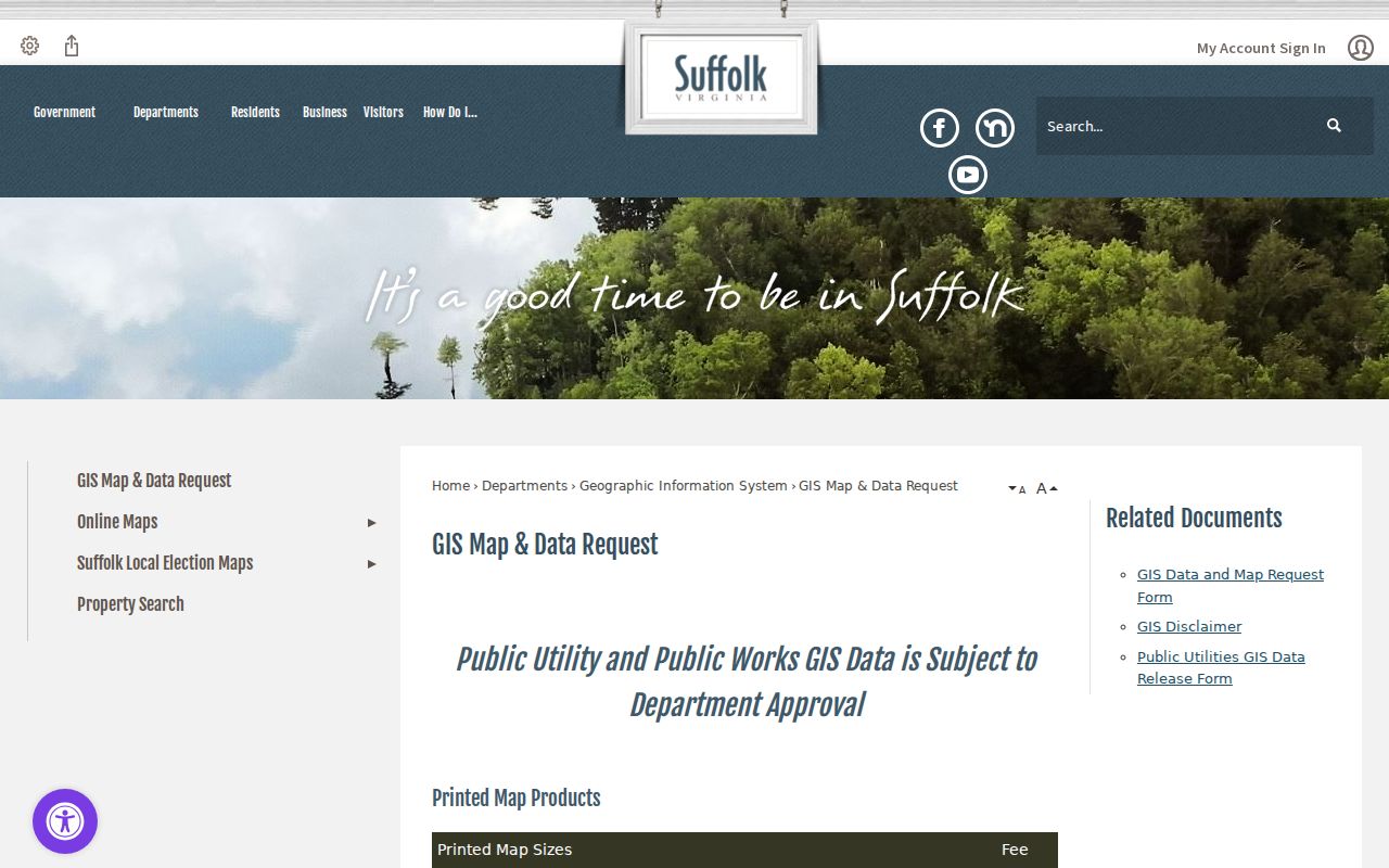
Department review may be required, and printed maps or data products can carry fees. State the area, requested format, and purpose clearly, then wait for GIS staff to confirm what can be released rather than promising a particular downloadable data set.
A map request is most useful after the exact postal question has been defined. Ask for an existing city layer or map product, not a newly created resident list. The response may clarify parcel boundaries, address points, boroughs, or precincts, but it does not replace USPS delivery confirmation or a record held by another custodian.
Suffolk ZIPs and ZCTAs
Census ZIP Code Tabulation Areas, known as ZCTAs, are statistical approximations of areas associated with ZIP Codes. They are useful for aggregate geography and statistics. They are not USPS delivery routes, and they should not be used to produce a street list or decide that a given address receives a particular ZIP.
Census ZCTA guidance distinguishes the statistical geography from postal delivery ZIP Codes.
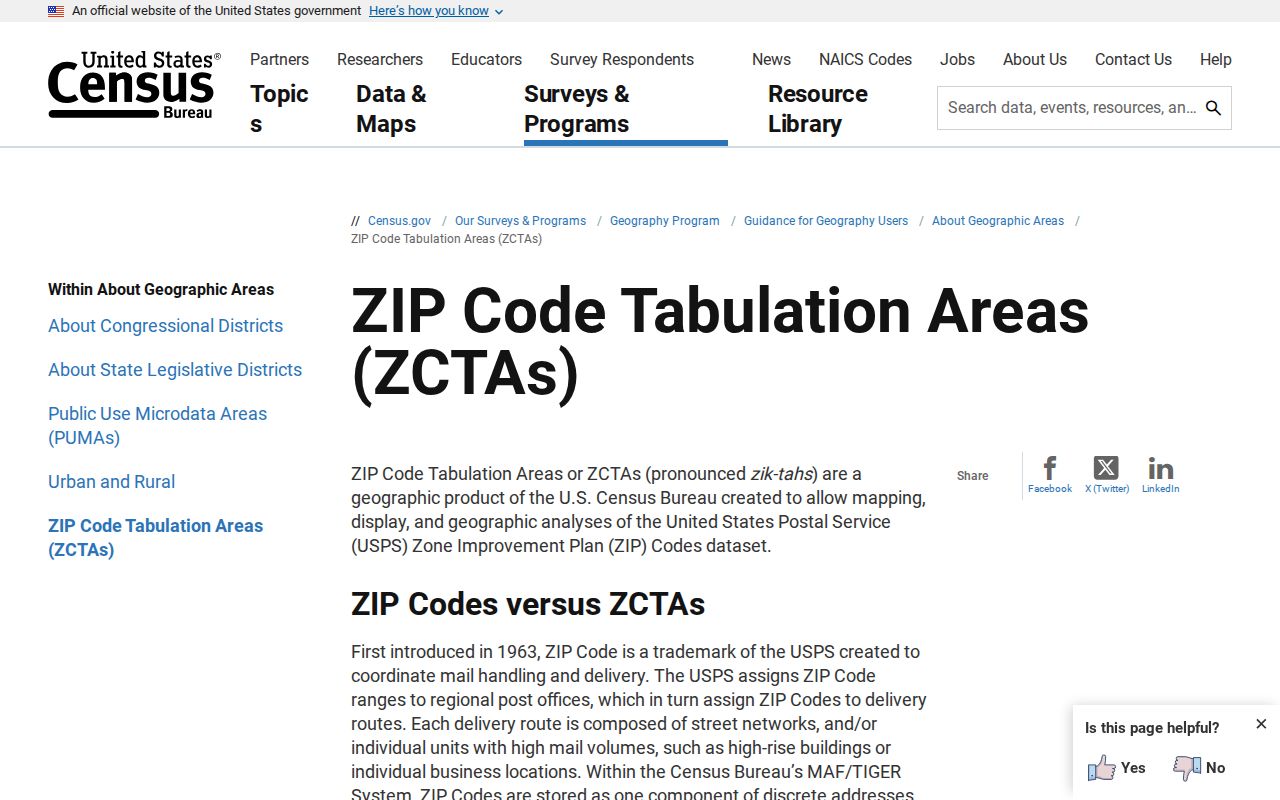
Use a ZCTA only when the question is aggregate, such as comparing population context. For a delivery question, return to USPS and the full address.
- ZIP Code
- A USPS delivery geography assigned through postal addressing.
- ZIP+4
- An added four digits that help route mail more precisely within a delivery area.
- PO Box ZIP
- A ZIP used for postal boxes, which is not the same as a street-delivery area.
- Carrier route
- A postal delivery grouping within a ZIP, not a city-boundary line.
Suffolk ZIP 23487 Caution
A Suffolk Public Schools attendance and live-birth report includes 23487. That appearance is an administrative school-district or boundary-data observation, not evidence that 23487 belongs in Suffolk's standard delivery set. A school record can include children or households connected to a district beyond the city's postal pattern.
This is a useful mismatch check. Compare the administrative source, an exact-address USPS result, city mapping, and any relevant precinct information before deciding how to label a ZIP. One data set cannot define the others.
Note: Treat 23487 as a boundary caution until USPS returns it for the exact address being examined.
Suffolk ZIP Match Limits
A Suffolk ZIP can organize delivery, mapping, and broad locality research. It cannot prove that someone lives at a street address, identify household members, or turn a map layer into a personal profile. The address may use a mailing label different from its mapped situs, and a postal boundary may cross city or administrative lines. Compare records for the question actually being asked.
When a mismatch remains, retain the exact address form, source, date, and conflict rather than forcing a result. That small record trail helps distinguish a postal difference from an out-of-date map, a borough label, a school boundary, or an address that needs confirmation from the responsible office.
For aggregate context, use Census geography only as labeled statistics. For delivery, return to USPS. For a parcel question, use the public assessment or GIS record. Keeping those routes distinct is the clearest way to avoid turning a geographic match into an unsupported claim about a person.
Postal boundary. Use ZIP and map information for lawful geographic research. Do not use an address, map result, or postal label to target, harass, or expose a protected person.